 Angielski
  Polski
 Belfegor
Location
Krakow, Poland
Scope of work
Laser scanning, Total Station measurements, 3D modelling, generation of orthogonal views, 3D visualization
Project purpose
To recreate technical documentation of the plane
Deliverables
3D model, technical drawings (orthogonal views)
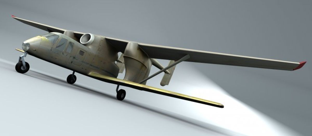
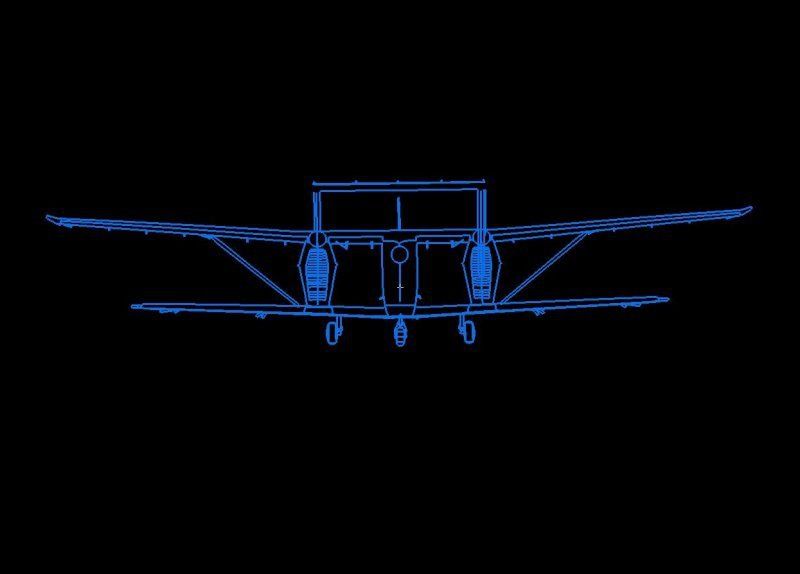
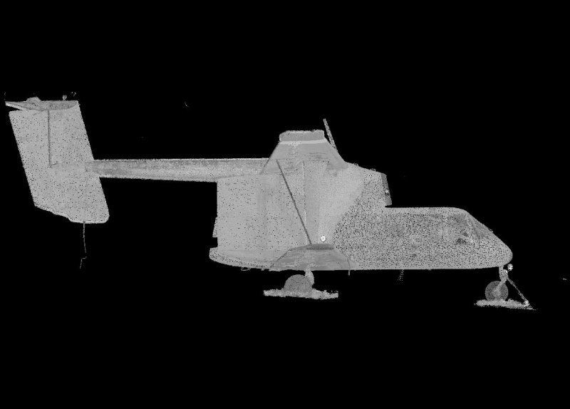
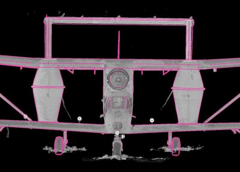
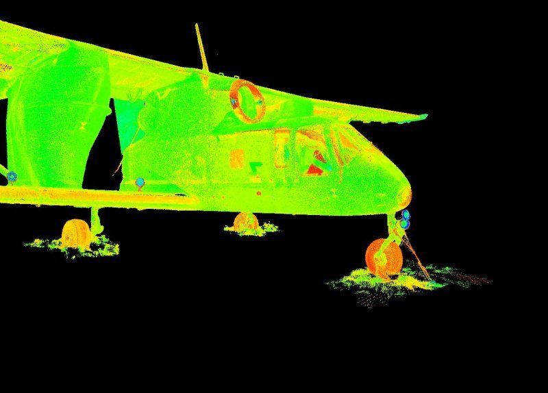
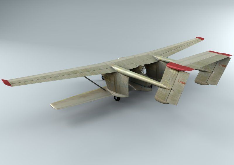
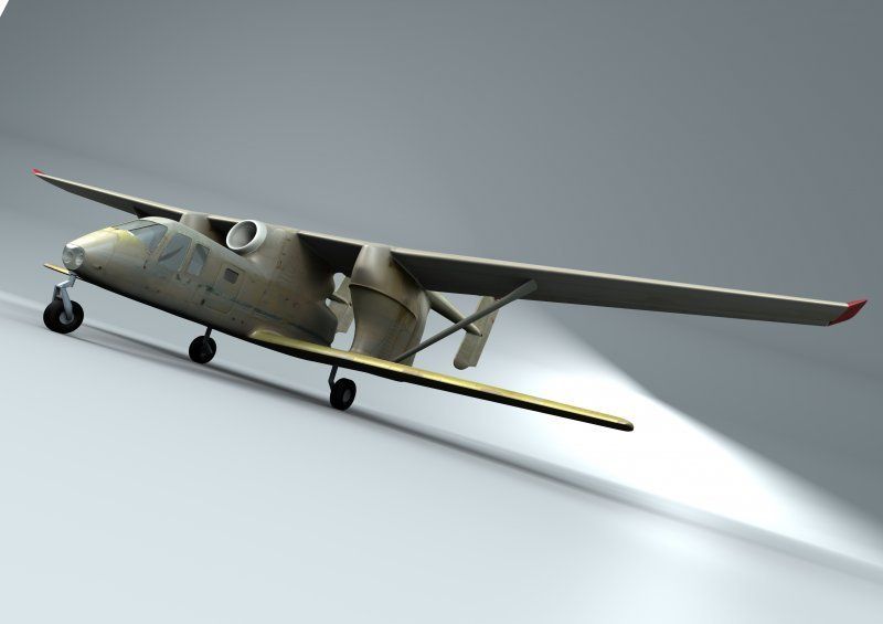
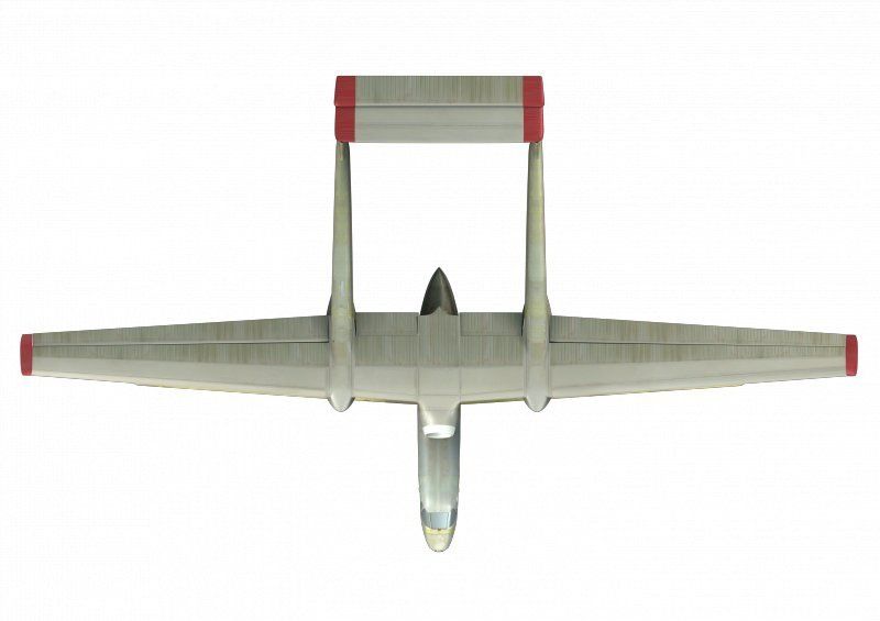
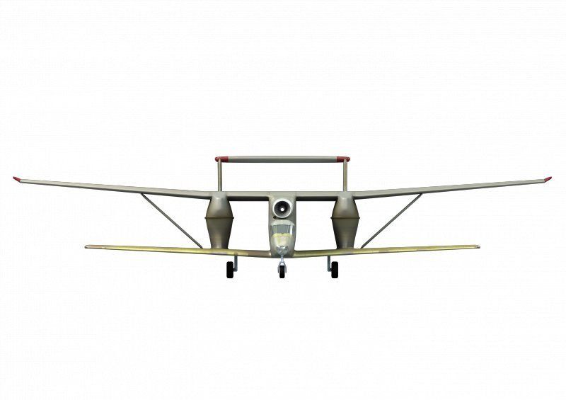
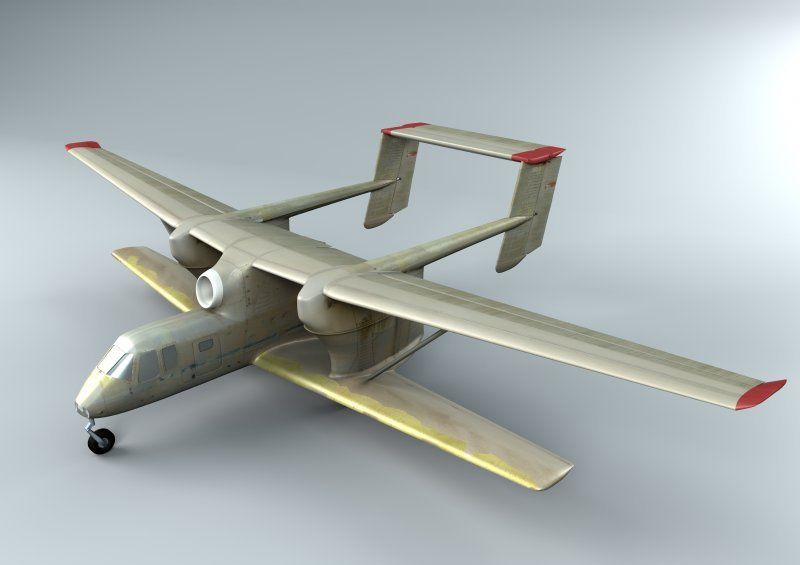
The main reason for laser scanning of the PZL M-15 Belfegor agricultural plane was lack of existing technical documentation. Site work was done by 3 survey engineers within 3 days. Survey data was post-processed in Leica Cyclone software. The end products were a 3D model in mesh and 2D drawings (orthogonal views). In addition visualization was made. MicroStation was used to generate the views, Blender – to carry out the visualization.

Our services
At Capnor, we deliver engineering services that set new standards for quality and efficiency. From precise laser scanning to advanced drone photography, our innovative approach revolutionizes how you make decisions and execute projects. Trust us and focus on your goals. We will handle the rest.